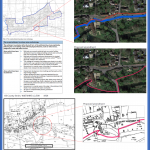
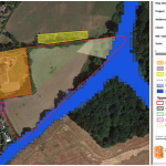
Settlement boundaries can represent the battlefront for planning applications. Just because your development site is the wrong side of an arbitrary line often means that planning permission will be refused by default. This is often a short sighted position by … Continued

On 2nd June 2020 Wealden District Council launched a call for sites. If you are a landowner, a developer, or an agent then now is the time to submit plots of land for consideration by the council for inclusion as … Continued

The Vale of White Horse District Council (VWHDC) have started preparing a new local plan and are currently undertaking a Call for Sites exercise, which will run until midnight on Friday 29th May 2020. Local authorities are required to review … Continued
Since the introduction of the National Planning Policy Framework (NPPF) in 2012, the Government has been pushing for the planning system to be genuinely plan-led at both a local and national level. In order to achieve this Local Planning Authorities … Continued
The Forest of Dean District Council has started work on a new Local Plan, the overarching aim of which is to explore how best to accommodate the scale of growth and changes that are expected up to 2041, in a … Continued
The London Borough of Tower Hamlets is currently undergoing a Call for Sites consultation as part of the preparation for the East of the Borough Action Plan as well as consulting on two proposed Article 4 Directions. Identifying sites for … Continued
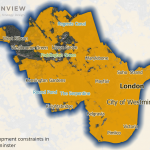
Consultation on the new City Plan (2019-2040) for Westminster is underway. The foreword from Councillor Richard Beddoe stresses the key objectives of the plan, which range from increasing affordable housing, to the preservation of heritage assets, to the enhancement of … Continued

Do you have a plot of land that you think might be suitable for residential or employment development? If your site is within the Basingstoke and Deane Borough Council area, then you may be interested to know that they have … Continued
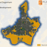
The London Borough of Barking and Dagenham are currently inviting landowners, members of the public and prospective developers to put forward any sites that they think have potential for housing, commercial or community development. The deadline for submissions is Friday … Continued

Developers and landowners are familiar with trying to get their sites allocated for development in Local Plans. However, there are often strict criteria and lots of competition for such allocations. An alternative approach is to make representations during a Local … Continued